City Streets
Below are PDF Maps available for free viewing and downloading.
Full Colour, Large Size City Street Index Map
View: Full Colour Large Size City Street Index Map.pdf
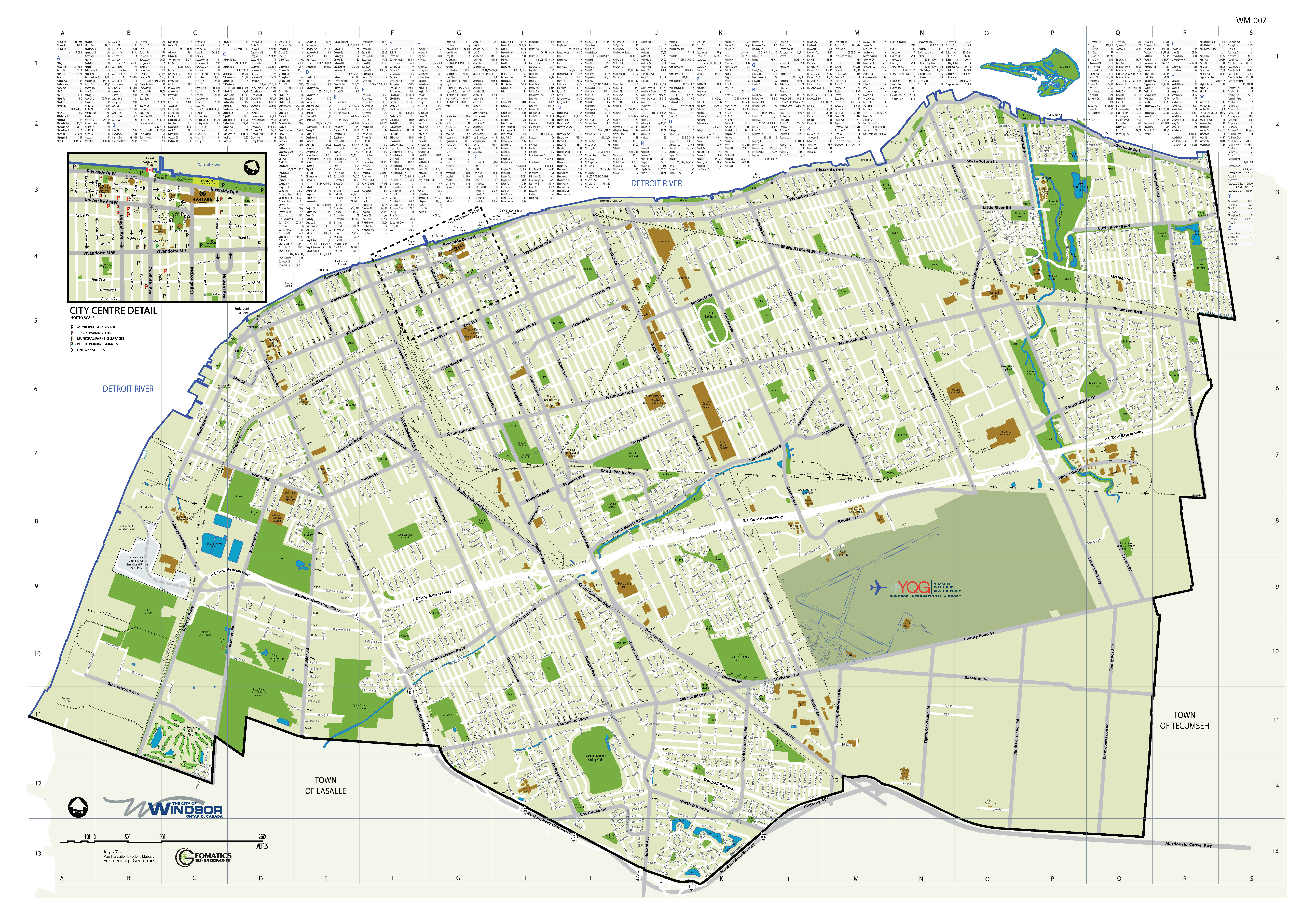
WM-007: full colour, single-line street index map showing city street names, parks, major buildings, schools, rail lines, water courses, expressway, the city boundary and international border crossings. This map follows the Geomatics Department street name index grid.
The map also features a variety of points of interest and an enlarged city centre detail.
Size: 52 inches by 36 inches - Price: $30.00 plus tax
Large Size City Street Grid Map
_Sept%202024.jpg)
View: 1:20,000 Large Size City Street Map
WM-001 or WM002: double-line, street grid map showing city streets, street names, parks, major buildings, schools, rail lines, water courses, expressway, the city boundary and international border crossings. This map follows the Planning Department's street name index grid.
WM-001, Scale: 1:15,000 - Size: 36 inches by 56 inches - Price: $18.00 plus tax
WM-002, Scale: 1:20,000 - Size: 28 inches by 42 inches - Price: $14.00 plus tax
Medium Size City Street Grid Map
%201%20to%2030000_2024.jpg)
WM-003: single-line, street grid map showing city streets, street names, parks, major buildings, schools, rail lines, water courses, expressway, the city boundary and international border crossings. This map follows the Planning Department's street name index grid.
Scale: 1:30,000 - Size: 20 inches by 28 inches - Price: $10.25 plus tax
Small Size City Maps - Major Streets Only
_2024.jpg)
View: 1:50,000 Small Size City Street Map
View: 11 inches by 17 inches Full Colour City Street Map
View: 8.5 inches by 14 inches Free City Street Map
WM-004 and WM-005: street maps showing major streets only, as well as major buildings, park areas, water courses and railways.
WM-004, Size: 11 inches by 17 inches (tabloid) - Price: $7.00 plus tax
WM-005, Size: 8.5 inches by 14 inches (legal) - Free

