Atlas Map Books
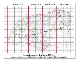
Digital Sewer Atlas Map Book

View: Sewer Atlas Index Page
Updated on a regular basis by the Geomatics Division, the Digital Sewer Atlas Map Book has been created to allow you to see the City's sewer infrastructure, both existing and proposed. Also included are sewer lines (type and size), manholes, gas, steam and hydro lines (where known or collected), right of way, street names, some street addresses, and building outlines. The map has been assembled and divided into 221 individual maps saved to portable document format (PDF) for easy viewing.
Instructions: Open the Digital Sewer Atlas Map Index, pan or zoom to the desired area and click on the Map Number. This will open the individual map, and it is now ready for viewing or printing.
The Geomatics Division makes every effort to update the Sewer Atlas in a timely fashion. It should be noted that proposed sewers may refer to sewers to be constructed, under construction, or actually constructed, but As-Built information is not yet available in the atlas.
For further clarification, please contact the Geomatics Division.
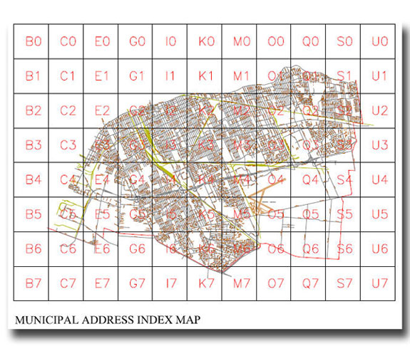
Municipal Address Atlas Map Book

View: Municipal Address Index Map.
Updated on a regular basis by the Geomatics Division, the Municipal Address Map Book Atlas has been created to allow you to see municipal addresses, property outlines and street names. Also included are city parks, schools, community centres and other points of interest. The map has been assembled and divided into 49 individual maps saved to portable document format (PDF) for easy viewing.
Instructions: Open the Municipal Address Index Map, pan or zoom to the desired area and click on the Map Number. This will open the individual map, and it is now ready for viewing or printing.
Zoning Districts Map

View: Zoning District Map
View: Zoning By-law 85-18
For maps and information relating to zoning, please click the link below:
- Zoning By-Law 8600 - Building and Planning By-laws Online
The City of Windsor Zoning Maps indicate what category and uses are allowed on private property. The prefix of the zoning indicates the basic use, and the detailed use is specified by numbers; example RD 1.1 refers to a residential district (RD) that allows only single-unit dwellings, existing duplex, or semi-detached, as well as accessory uses (1.1). Other prefixes refer to C - commercial, M - manufacturing or industrial, I - Institutional and G - green space.
Please Note: Zoning can change weekly; each map has a date that is reflective of the update.
For specific information on what uses are allowed for each zoning, please visit the 2nd floor of 350 City Hall Square West.
Formal responses are available by letter for a fee.
Zoning information given informally or over the phone often leads to confusion; only formal responses should be relied upon, as zoning changes and related information are ever changing.
Instructions: To view various zoning maps, open the Map Index, zoom and pan to the desired area and click the Map Number to open an appropriate map in portable document format (PDF).
